HCECR-MAIKI Project
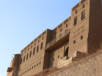
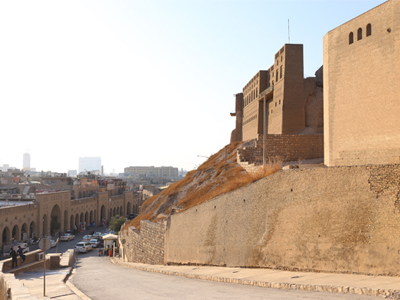
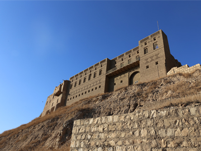
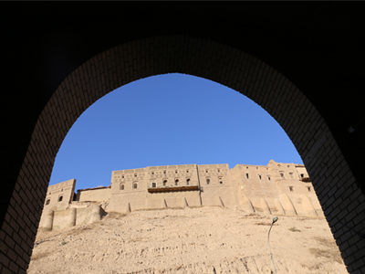
The Citadel is both the physical and symbolic centre of the modern city of Erbil. The impressive tell rises about 30 meters above the plain, stretching over 15 hectares; its millennial history makes it one of the most important archaeological sites in the region and was included in the World Heritage List of UNESCO in 2014.
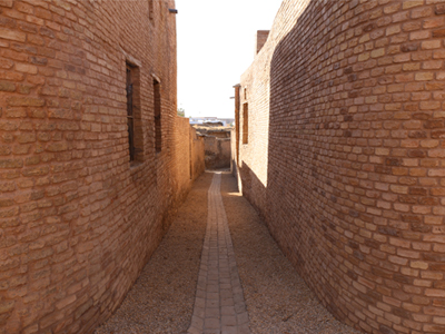
Most of the architectural structures visible today date to the late Ottoman period and represent a remarkable testimony of the traditional architecture of the epoch. Nonetheless, from an archaeological point of view, the importance of these buildings pales in comparison to the treasures still hidden underneath the soil. As confirmed by the first geophysical studies carried out by MAIKI, the Ottoman structures indeed stand on an artificial hill formed by the accumulation of wall structures and materials deriving from the millennial occupation of the area. 
MAIKI fruitfully collaborates with the High Commission for the Erbil Citadel Revitalization (HCECR) in the study of the site ever since its creation in 2011. Current projects include geophysical surveys, aimed at identifying and understanding the archaeological stratigraphy of the site, and the study of pottery found during the stratigraphic excavations recently carried out by the HCECR.
In spring 2019 MAIKI carried out a geophysical survey of the Erbil Citadel with the electrical resistivity tomography (2D ERT) methodology. In the same campaign, the MAIKI team acquired UAV photos of the entire surface of the Citadel and its slope, providing both an updated topographic orthophoto and a DEM of the Erbil Citadel.


